The demarcation of land is a legal act by which neighborhood relations as well as the right of ownership are founded and defined. This act allows materially and legally determine the limits that separate two adjoining properties. This boundary specification is for private spaces. It should be noted that the separation of a private property from a public domain is an administrative process.
When it is effective, it is permanent, ie the limits obtained following a demarcation are final. In practice, separations are marked by visible markers, or terminalsso that the owners, or the occupants of the premises, do not go beyond their perimeter.
Generally, surveying is not mandatory, but rather recommended in order to avoid possible problems. It is up to the owner to request it. But when a request is instructed, the survey becomes mandatory. Its realization can be done amicably between the neighbors. In the event that there is a discord between the owners, the demarcation is carried out by legal means.
However, demarcation is now mandatory for land (intended for construction) from:
• land consolidation set up by an urban land association,
• a ZAC,
• a subdivision.
In addition to the delimitation of the land, the demarcation also plays a important role in the conformity of a construction. Indeed, the location of constructions, particularly with regard to the distance between two buildings, is subject to strict regulations that must be respected. The latter come into play when the land use plan requires spacing between the edges of the land and the location of the construction. The same applies to land intended for plantations.
Summary
The boundary conditions of a land
Certain conditions must be met for the demarcation to be carried out in due form.
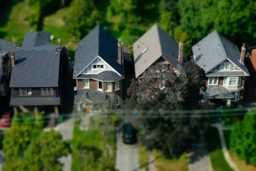
The contiguity of land is the first requirement imposed. Land is considered contiguous when it belongs to different owners and touches each other. Adjacency always exists even when properties are divided by the presence of a path, a ditch or a stream. On the other hand, if the elements that separate two private spaces are a public road, a railway line, or a national watercourse, the demarcation becomes impossible. These are qualified as public domain so the recourse remains the alignment. Only private property may be subject to demarcation. This act becomes infeasible when the domain is contiguous to a public domain, such as the case mentioned above.
The admissibility of the request also depends on the applicant. Only people with a real right to the property are able to take this step. These are the owners, of course, but also the co-owner, the holder of a long-term lease or right of use, the usufructuary and the bare owner. Under no circumstances may the tenant initiate a demarcation request.
Given the definitive value of a demarcation, only land that has never been the subject of such an act can be delimited. A demarcation already carried out is indisputable, it is forbidden to attempt to redo it again.
It is important to know that this act is also impossible in the case of buildings attached to each other.
How is the demarcation of the land carried out?
The professional who has the competence to carry out this act is the expert surveyor. The solicitor must therefore contact this professional and at the same time, he must collect the required documents. The file must consist of property plans and titles. It is from these documents that the measures are taken.
Expert surveyors have a public service delegation: the demarcation of land properties. Thus, in fact, they have the monopoly of acts in this area, such as demarcation. The expert surveyor will naturally be your partner in your real estate projects, just like notaries or real estate agents. The surveyor is both a technical expert and a legal expert. He engages his personal responsibility on the acts he signs. Its profession is thus regulated and an order of expert surveyors ensures that the exercise is carried out in compliance with the rules and code of ethics of the profession.
Amicable demarcation
In this specific case, by mutual agreement, the parties concerned agree that the act should be carried out. They get together to hire the expert surveyor and share all the costs incurred. The materialization of the demarcation is done by the establishment of the terminals on the strategic corners that only this expert is able to achieve. The heads of the bollards must protrude from the ground to be visible. At the end of his intervention, the expert surveyor draws up a demarcation report that each party signs by taking cognizance of its content. This report is to be filed with a notary and then published in the land register, the land registration service, or the mortgage registry. This publication is mandatory in order to give it an opposable value to the purchasers.
Demarcation by legal means
It is stipulated that « any owner can oblige his neighbor to the demarcation of their contiguous properties » according to the Civil Code in article 646. Thus, an owner has the right to seize the district court of the place of the property concerned for an action in demarcation, even if the other owners do not accept. This kind of discord almost always happens when there are disputes over property boundaries, or when the parties disagree on fees and the choice of surveyor.
To bring this action, the following documents must accompany the application to the district court. These are the construction permits (if it is a built-up land or if there is a construction project), the title deeds containing the conflicting plots and the cadastre. Upon receipt of these documents, the judge will analyze them and then assign an expert surveyor to carry out the demarcation. The course of the intervention will be as for the amicable demarcation, that is to say measurements on the ground, installation of terminals and establishment of a report of demarcation which will be approved by the court.
The costs are shared between the parties. The cost of setting up the terminals and the purchase price of the latter will be divided equitably between the parties concerned. On the other hand, the costs of measurement and surveying are divided according to the capacity of their respective lands.
Price of a land demarcation: how much does it cost ?
The definition of the cost of this intervention depends on several criteria. The price is not the same for all land because a priori, it is the surveyor who defines it according to the difficulty of the operation and the size of the space. The following costs are to be included in the surveyor’s fees:
• collection of the parties’ agreements,
• drafting of the minutes,
• establishment of the topography of the land,
• shift,
• installation of boundary markers (installation, supplies, movement of employees and price of markers).
In any case, it is necessary to plan approximately between 500 and 2,000 euros for this act.